HAHAHAHAHAHAHAHAAHAHAHA!!!!!!!
Donald Trump's Hurricane Dorian Map Appears to Be Doctored With a Sharpie to Include Alabama
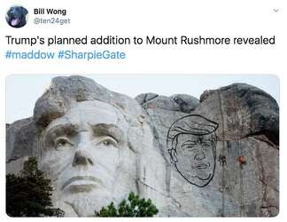
The map Trump displayed was the same as a model produced by the National Oceanic and Atmospheric Administration last week showing the hurricane's projected path cutting through central Florida— with one key difference. Where the original projection ended, a smaller, black circle that appeared to be drawn in sharpie was produced to include Alabama in the model.
https://www.esquire.com/news-politics/politics/a28916647/donald-trump-hurricane-dorian-map-sharpie/
Trump was asked if the map he displayed was altered using a Sharpie, the president’s pen of choice.
“I don’t know, I don’t know, I don’t know,” he replied.


Best part:
According to 18 U.S. Code § 2074, “whoever knowingly issues or publishes any counterfeit weather forecast or warning of weather conditions falsely representing such forecast or warning to have been issued or published by the Weather Bureau, United States Signal Service, or other branch of the Government service, shall be fined under this title or imprisoned not more than ninety days, or both.”
All together now: "lock him up, lock him up!"


